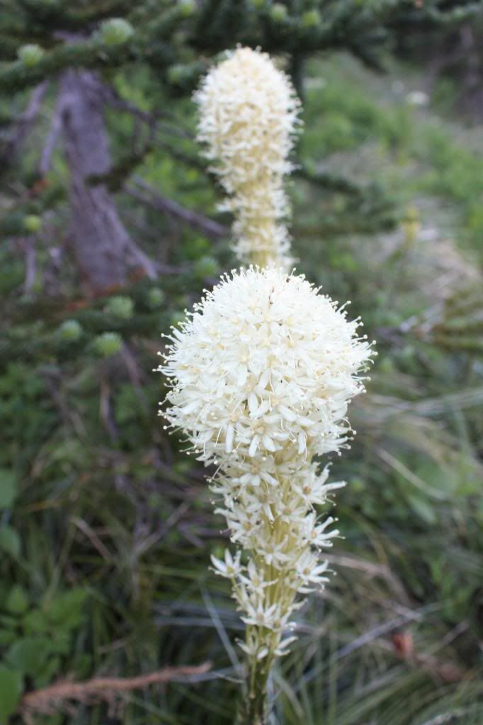
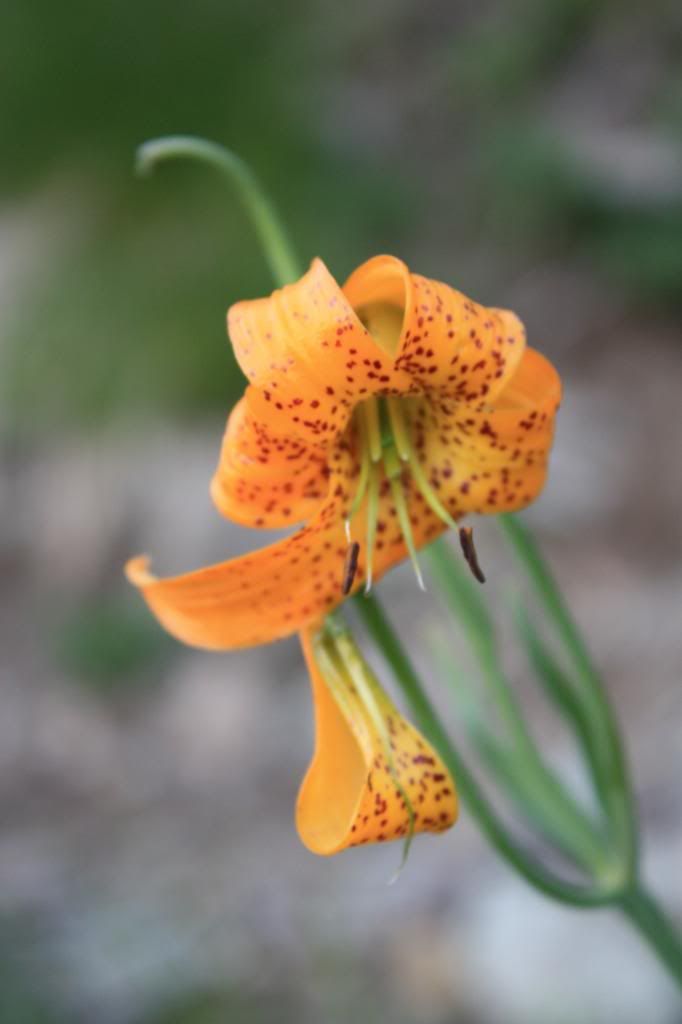
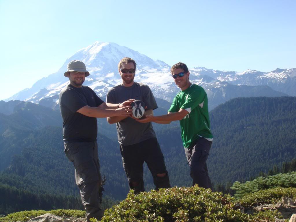
As the summer was winding down, there was one hike that I hadn't completed, and that was bothering me. Camp Muir is considered to be one of the "classic" Rainier hikes, and the most popular high camp for mountaineers attempting to reach the summit.
My friend, Shelby and I had arranged plans to hike to Camp Muir together. We met up at the Paradise ranger station, and headed up the Skyline Trail. There were definitely better days that I could have chosen for this hike. It was September, which is the transition month between summer and fall in the pacific northwest. The number of sunny days had been dwindling over the past month, and this was one of those gloomy, foggy days. It certainly wasn't anything that we couldn't handle. The rain was nothing more than a light mist, but it seemed like it would be more of an endurance hike than a day that we'd remember for the scenery.
Hiking to Camp Muir is considered to be strenuous, and for good reason. Only part of the hike is on trail, and when the trail ends, you begin ascending a large snowfield. Depending on conditions, the snowfield can be fairly simple or very difficult to navigate across. Some people have unknowingly wandered off the snowfield during bad weather conditions, where they found themselves on a glacier, and in some serious trouble. Overall, the hike is 9.3 miles round trip with almost 5,000 feet of elevation gain (Muir itself is at 10188 feet). If this sounds like it's beyond your level of comfort or ability, then you probably should not attempt this hike.
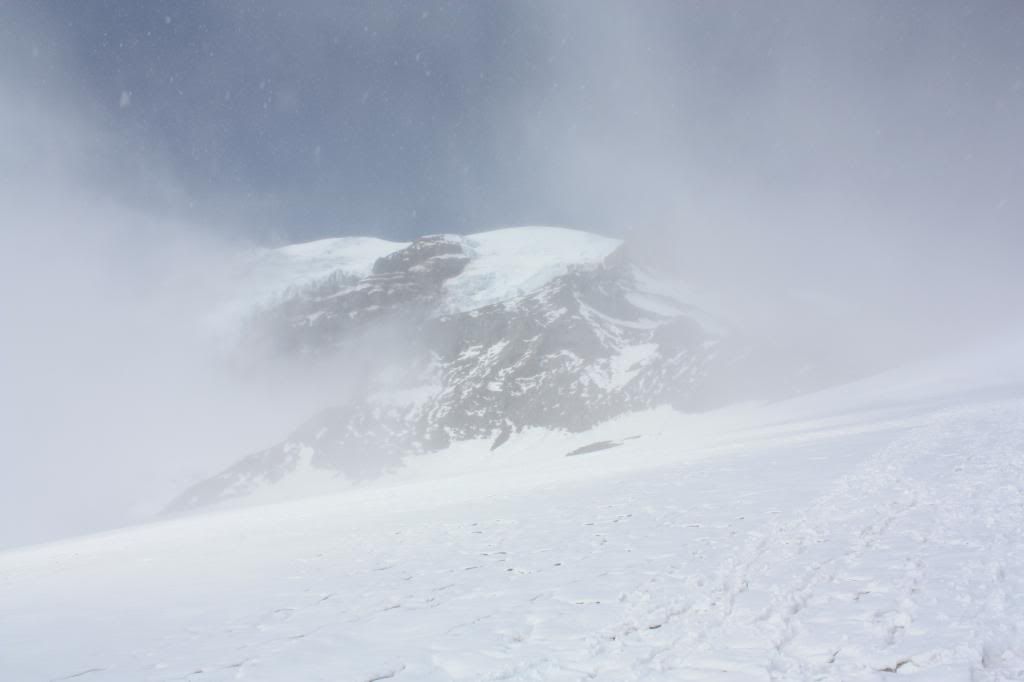
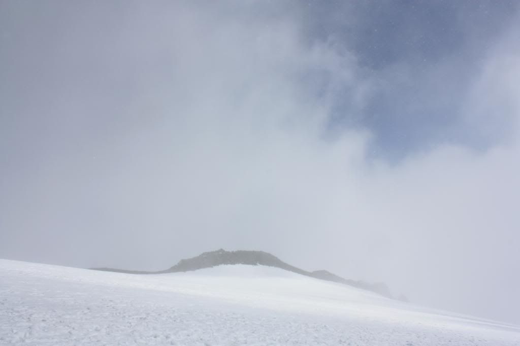
We continued, plodding our way towards Camp Muir. Nothing but white and gray, the visibility was so bad that I began to wonder if we were headed in the right direction, but there only seemed like one way to go.
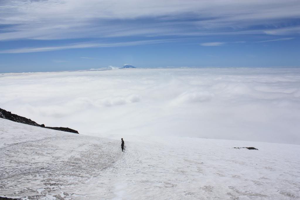
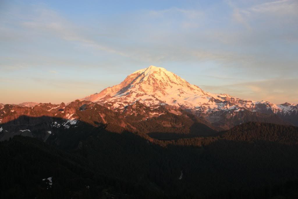
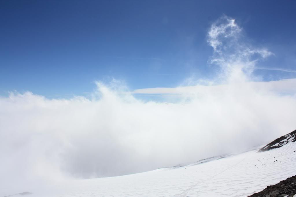
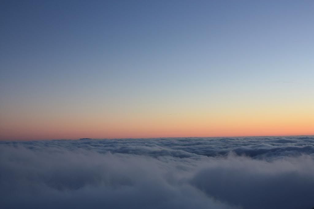
Finally, it seemed to be getting brighter. I glanced up through the low-lying clouds, and saw some sunlight trying to break through. As we continued, it became obvious that we were going to break through the clouds!
The brightness was almost blinding, but welcome nevertheless. Finally, some visibility!
The first glimpse of Rainier that we had all day:
 We were just past anvil rock, and within an hour of Camp Muir.
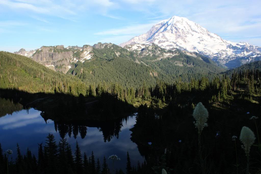
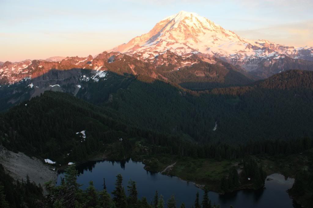
 Our view looking back to the south:
 The experience of hiking on a cloudy, miserable day before busting through the clouds is truly unique, and something that I hadn't experienced before or since.
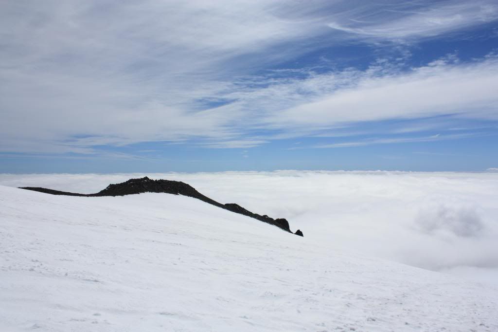
Glancing up the snowfield, I could just make out what appeared to be some kind of structures in the distance. This had to be Camp Muir.
Knowing that we actually had a view looking down on the clouds put me in a much better mood. The hike was paying off with something tangible, and proving to be more than simply the accomplishment of reaching Camp Muir.
By now, it was obvious that Camp Muir was ahead of us. The structures came into focus, and we started to see more people.
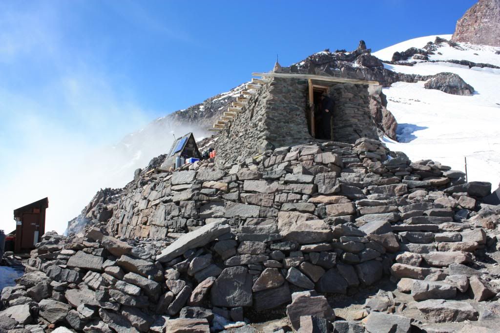
Finally, we made it.
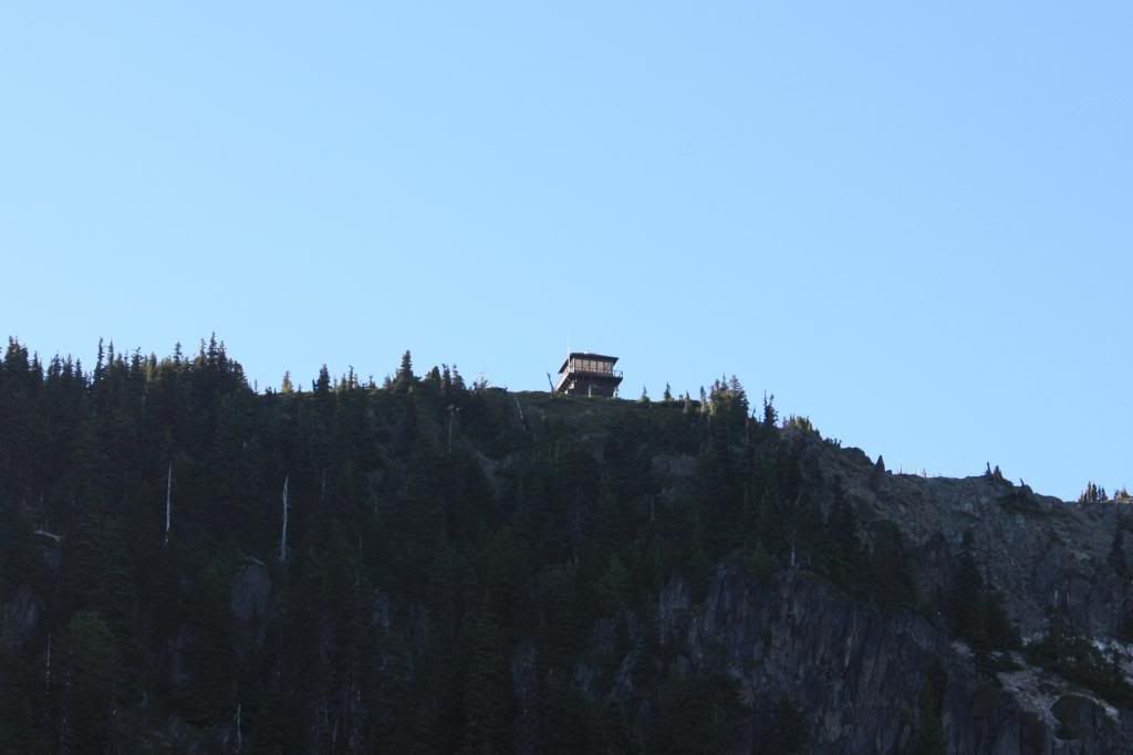
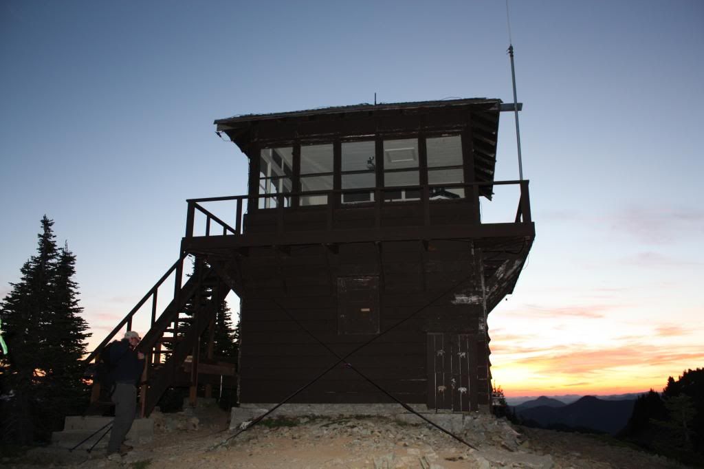
This is the hut that is used by climbing rangers. Pretty cool!
 For the first time, looking towards the top of Rainier really gave me the perspective that I wasn't just looking "at it," but I was actually "on it."
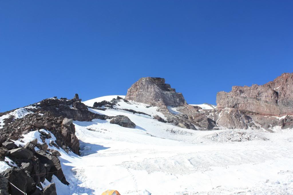
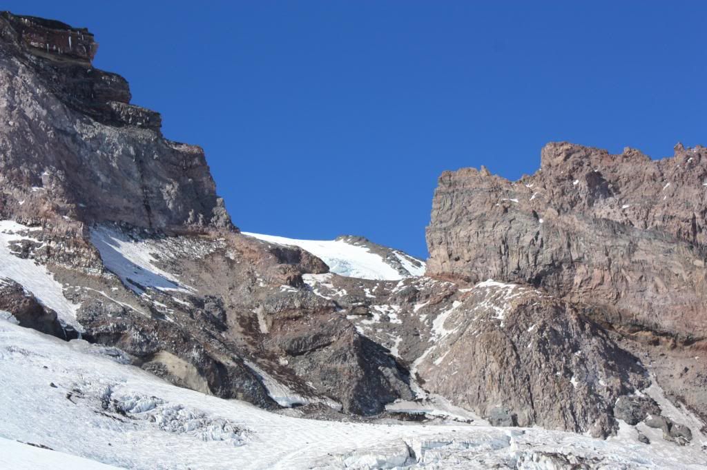
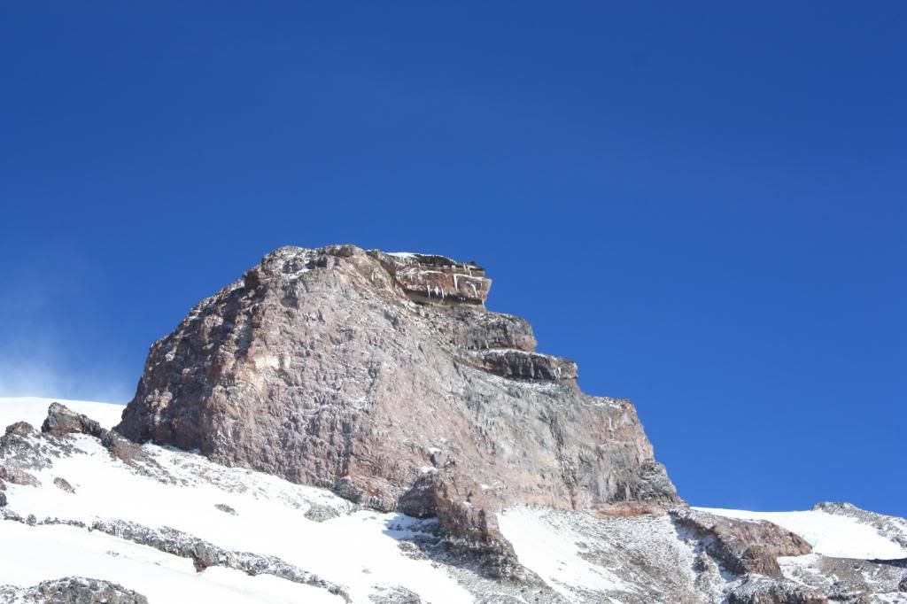
In this next photo, the large rock in the center is called Gibraltar Rock, one of most obvious landmarks on The Mountain. Also, notice the rock wall to the right of Gibraltar. This is part of Cathedral Rocks. The route to the summit from Muir goes between Gibraltar and Cathedral (then eventually over another rockform, my favorite, Disappointment Cleaver). You can see this "cleaver" between Gibraltar and Cathedral in the second picture below).
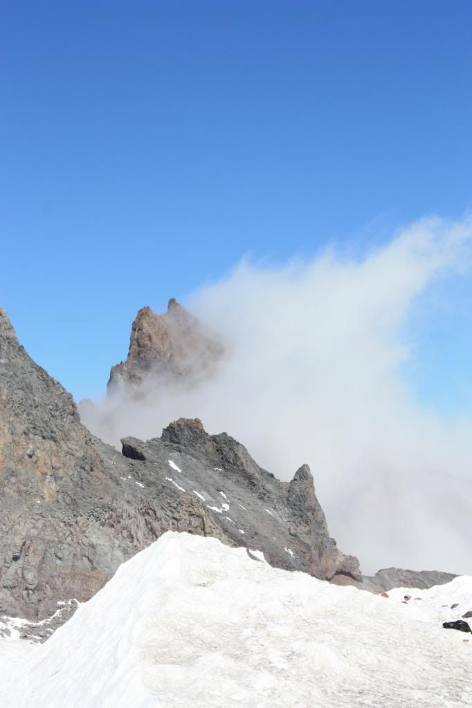
In some areas, lone clouds were wisping past rocks, creating a smoke-like effect:
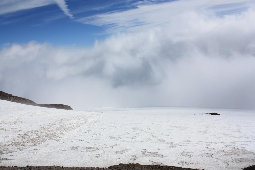
Looking back down the snowfield:
 After snapping some more photos, it was time for a much needed mid-afternoon break. I decided to stay at Muir for about an hour before heading back down. Before we set out, Shelby had already made up her mind to spend the night at Muir. She was friends with Arlington, the on-duty climbing ranger who was stationed at Muir. Spending the night sounded fun, but I had a friend whose birthday party was that night, and I didn't want to miss out. It sounded like I'd be hiking back alone, which didn't bother me. I knew I'd be able to glissade down the snowfield in a fraction of the time it took to hike up. The low-visibility conditions below were concerning, but I shouldn't have to deal with them for long.
When I felt re-energized, I said my goodbyes to Shelby and Arlington, and started to venture back down the snowfield. I thought it would be a good idea to head down with some other folks that I had just started to head down as well. I followed them for a little while, but they were excruciatingly slow. Literally, "snail's pace" doesn't even begin to describe their lack of speed. I could barely stop my momentum to hike as slow as they were. I put up with it for a few minutes, but soon decided this was ridiculous. I passed them, and continued to glissade quickly down the snowfield.
Soon, I dropped beneath the cloud level and back into the familiar white and gray abyss. Despite the low visibility, there was enough boot pack from others that the route seemed obvious. At this rate, I'd be back in no time!
Eventually, I reached an area of the snowfield that seemed to split in two directions around a rock. Interesting. I didn't remember seeing this on my way up. By now, what was previously misty rain had turned into snow flurries, and the further I went beneath the cloud level, the darker it got. I analyzed the boot tracks on the snow. People appeared to be heading both directions around the rock. Maybe both routes rejoined somewhere down below.
I picked the seemingly more well-travelled direction (left), but it was hard to tell, as the snowfall was starting to cover up the tracks.
At first, the terrain seemed familiar, at least what I could see of it. I continued my rapid pace down the snowfield.
That didn't last long. Within minutes, the snowfield led me to a rocky area with some sketchy downclimbs. Looking around, I also started to see fewer and fewer boot tracks. Was that because nobody had been this way, or were people's tracks getting covered by the snow? Obviously people had come this way. I had just seen their tracks minutes earlier, but now there seemed to be no obvious way to go.
By now, the snow flurries had turned into a full-on blizzard - a whiteout.
I continued, and reached an open area that had crater-like rocks sticking out of the snow. This couldn't be right. I looked around for any sign of others who might have hiked this direction, and saw nothing. I looked back at my own tracks and realized that if I was going the wrong way and needed to turn around, my tracks would be completely covered if I didn't do it soon. I didn't want to be blindly retracing my steps (with no actual steps to follow) during whiteout conditions. I don't want to say I hit the panic button, but I wasn't far from it. I needed to turn back, and turn back now.
Luckily, my tracks were still intact enough to follow them back. However, I still had some ground to cover to get back to the "fork" in the snowfield that had led me astray. Hopefully I could follow them until I reached some familiar ground.
I retraced my steps until I was finally back to my faulty turnoff. Now what? Should I try and head the other direction down the snowfield? (Which now seemed like the obvious route). Or, should I play it safe and head back to Camp Muir and spend the night? I didn't have overnight gear with me, but I'm sure the climbing ranger had some extra stuff stashed away. I decided that heading back up would be the wiser choice. Conditions weren't getting any better, and the day wasn't getting any earlier.
Just then, I remembered that I brought a two-way radio with me, just in case. I took it out and called up to Camp Muir, letting Arlington know that I would be heading back up to spend the night (while trying to sound as calm, cool, and collected as possible).
I made my way up the snowfield, passing a few other people who were heading down. I thought about tagging along with them, but at that point, I had already made up my mind to head back to Muir.
It was a relief (yet again) when I broke through the clouds and could see the structures from camp up in the distance. I never thought the word "civilization" would cross my mind at 10,000 feet elevation, alongside an active cascade volcano, but after (almost) getting lost, that's kind of how I felt.
As I made it back to Camp Muir, I was greeted by Arlington and Shelby. I was pretty embarrassed to be back, but even more relieved to finally sit down after hiking there...twice.
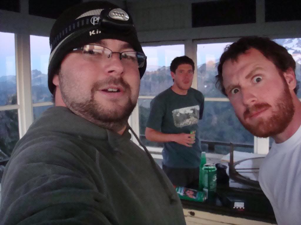
We went inside the ranger hut, where Arlington made dinner for me and Shelby while we hung out with Ted, the extremely entertaining maintenance guy (RIP Ted!). I changed into the few articles of dry clothing that I had left, and relaxed for the first time all day.
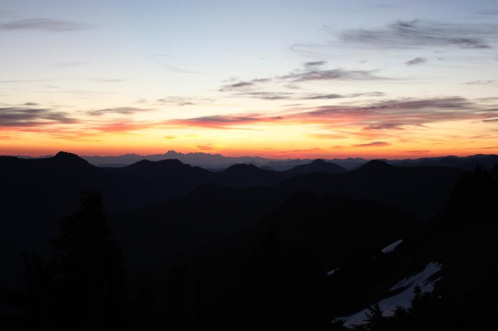
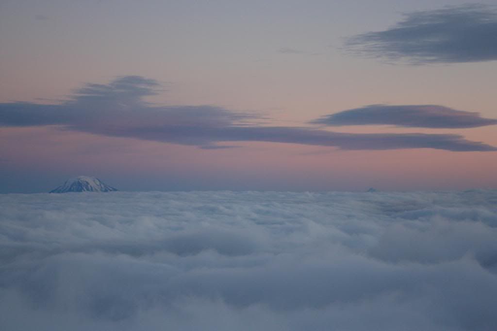
Later that evening, I went outside to see what kind of view the sunset was offering. I wasn't disappointed.
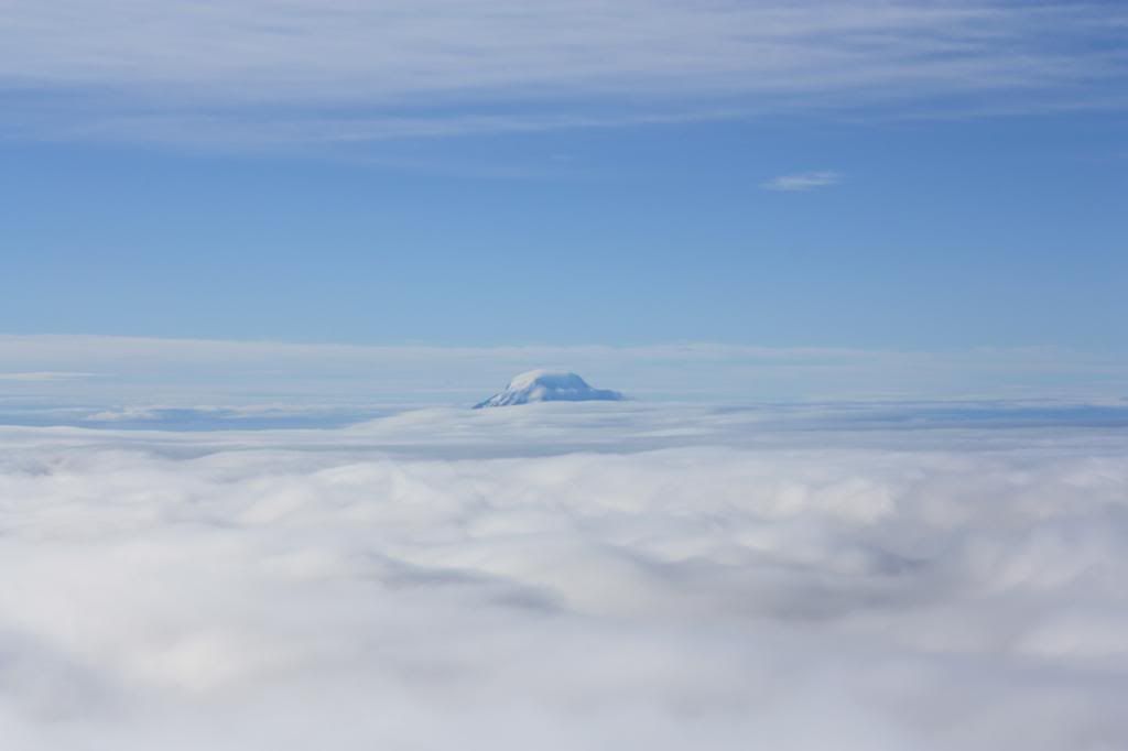
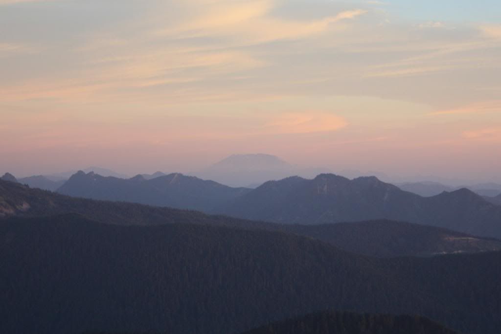
Notice Mount Adams above the clouds, and if you look really closely to the right, you can even see Mount Hood in Oregon, barely sticking up.
 Another view, looking down on a blanket of clouds as far as the eye can see. Again, look closely towards the left side of the horizon, and you'll see the flat-topped Mount St. Helens barely poking up:
 And to think, I wouldn't have gotten those views if I hadn't lost my way, and headed back to Muir. I guess it all worked out.
As bedtime drew closer, Arlington hooked me up with some overnight gear (sleeping bag and pad). I was able to get a floor spot in the public hut, careful not to waken the climbers who would be rising early in the morning, long before any sign of sunlight. For some reason, I had a hard time sleeping that night. For some reason, I didn't care.
The next morning, I got packed up and went outside. I was shocked by how warm it felt. It must have just seemed that way from the high elevation, as the giant icicles hanging from Gibraltar Rock indicated otherwise.
 Looking in the direction of the snowfield, the clouds were still a sheet of white below us.
It wasn't long before I located Shelby. We agreed that after eating breakfast, we'd head back down together.
As we started back down, I snapped a few more pics, knowing that the cloud monster would soon be swallowing us.
 Nisqually Glacier:
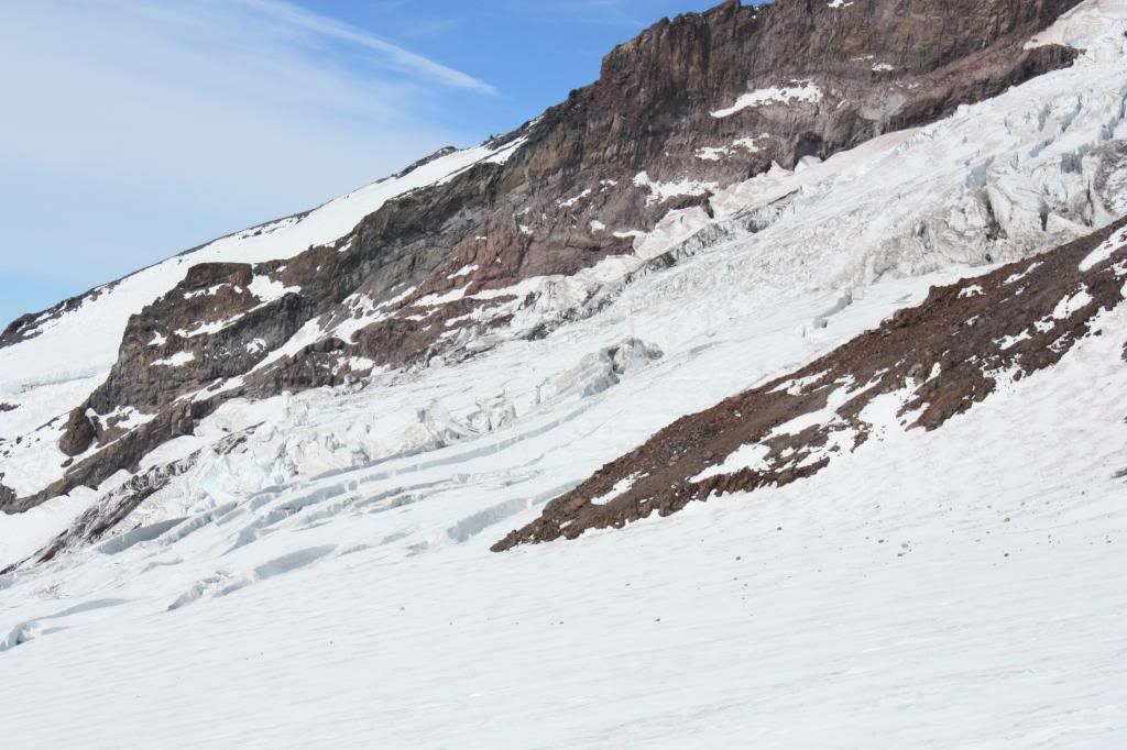
We dropped below the clouds, and before long, came to the rock where I had made my mishap the previous day. This time we were approaching it from much further to the right, and it seemed pretty obvious which was the right way. The visibility wasn't great, but not nearly as bad as it was the day before.
We eventually caught up to a guided climbing group that was heading down (which was additionally reassuring). We passed by them, and from there it was increasingly obvious that we were going the right way.
Sliding down the icy snowfield was fun, and it didn't take long before we were back at the Skyline Trail.
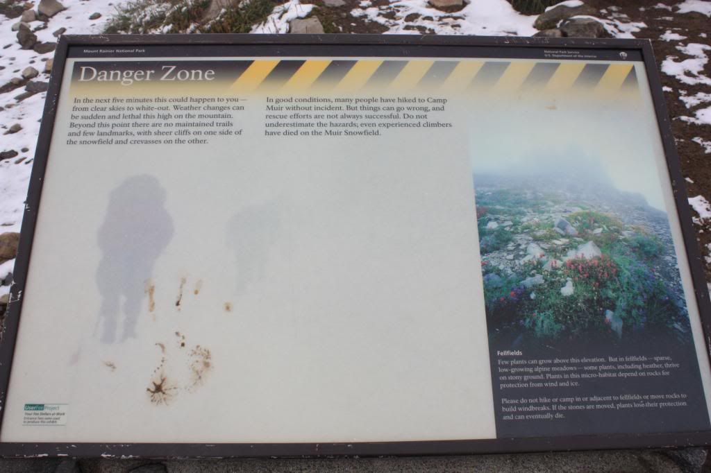
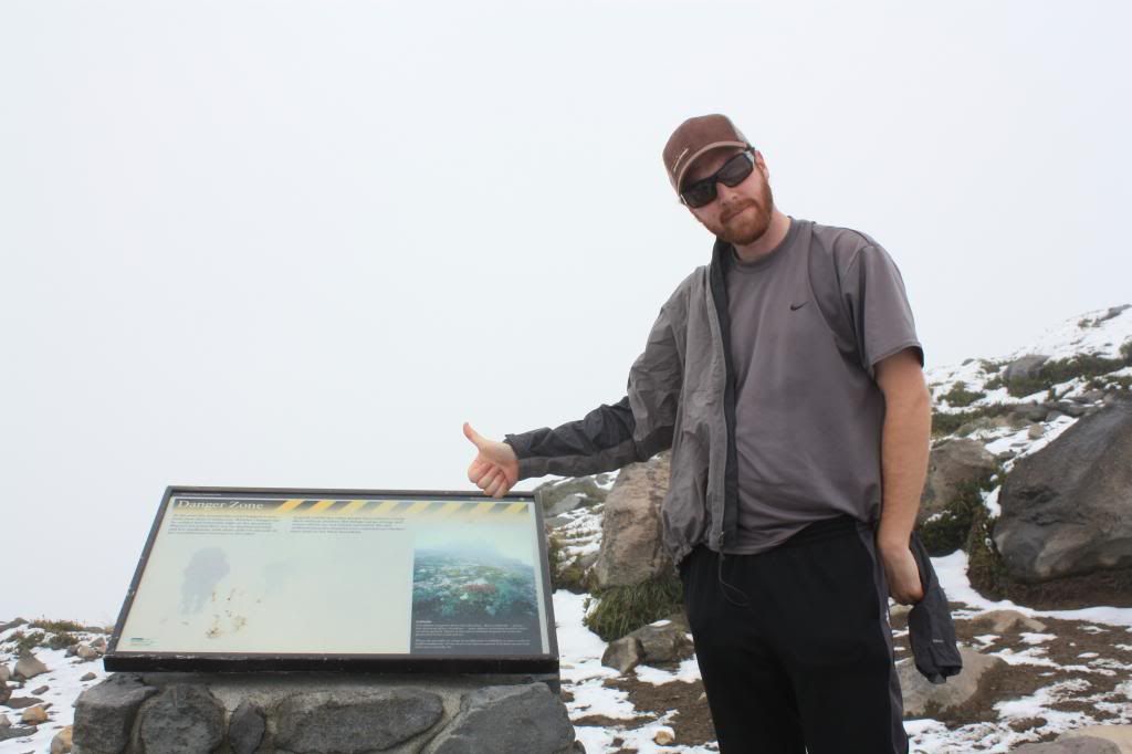
I thought this sign was fitting given the previous day's adventure:
I know it's too small to read, but it basically warns hikers of the potential dangers of the Muir Snowfield, and states that even "experienced climbers" have died on it.
Naturally, I needed a picture with it:
Once back on trail, it was pretty smooth sailing for the rest of the way (although the knees were pretty sore). When we got back to the parking lot, I made a quick stop at the visitor center and checked in with my co-workers (who I had contacted by radio the previous night to let know I wouldn't be back that evening), before heading home.
A warm shower and dry clothes have rarely felt better than they did that afternoon. It was truly an adventurous two days.
So, I made it to Camp Muir and back (with some other stuff that happened in between). It was a great hike to finally get out of the way as my summer at Mount Rainier came closer to an end.


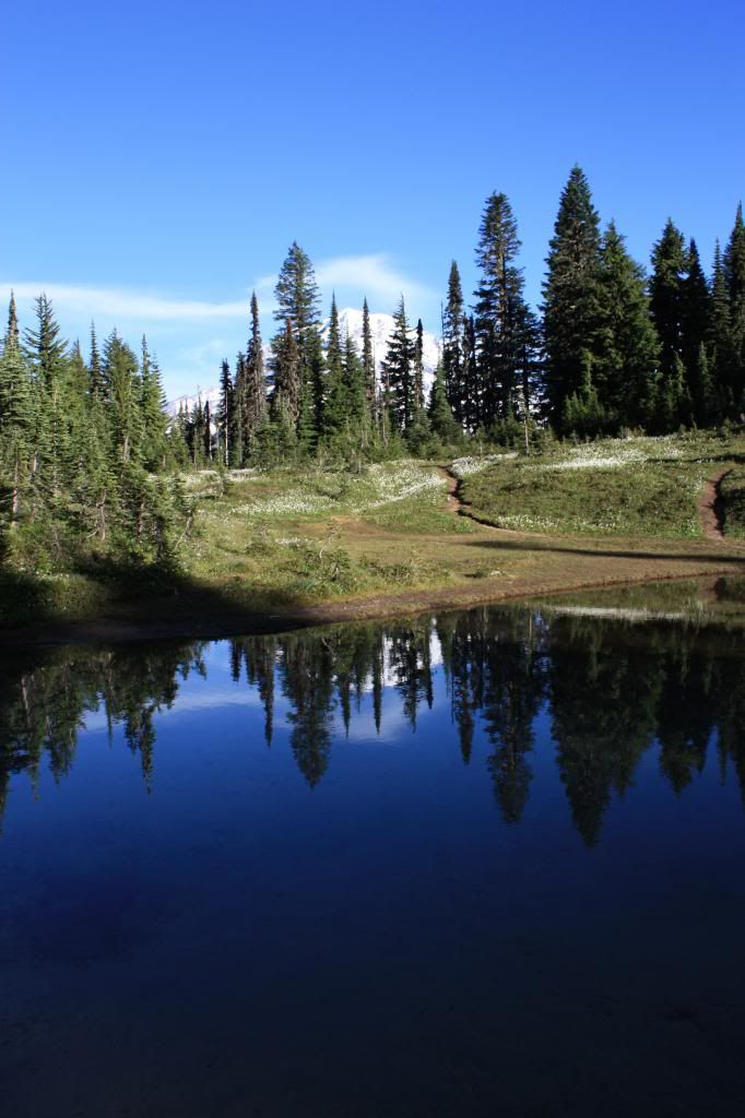
 Above the creek, looking down on a small waterfall: