Thursday, March 28, 2013

John Muir Cabin

Since the first day I arrived in Juneau in April, I was excited for my late-June visit from Stephany (my girlfriend). There was plenty to be done around Juneau when she arrived without significant planning in advance, but I decided to look into reserving a backcountry cabin a few weeks prior.

The Juneau area has several rustic cabins available for overnight use by the public, which require a fee and reservation on www.recreation.gov. Some of these cabins are easier to access than others, but all of them are hike-in. A few weeks before Stephany arrived, I got online and searched for the availability of these cabins during the time that she'd be in Juneau. I found that the cabins are usually booked weeks (or sometimes, months) in advance, but I was able to reserve the John Muir Cabin for one night during mid-week.
The John Muir Cabin is accessed from the Spaulding Meadows Trailhead along the Glacier Highway, just west of Auke Bay. This trail forks after .8 miles, where you take a left on the Auke Nu Trail, which eventually ends at the John Muir Cabin.

Me and Stephany, at the Auke Nu Trail junction:
After reaching the Auke Nu Trail, the landscape began to change from evergreen forest to muskeg (boggy, open areas with patches of stunted trees).

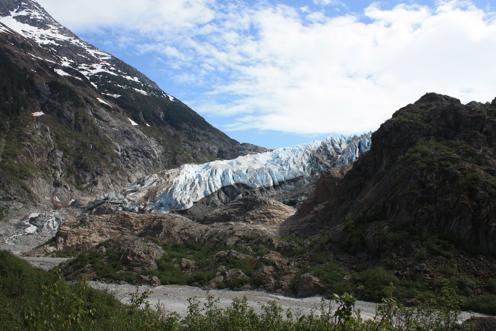
Most of it looked something like this:

Stephany:
Several of the trails that I hiked in Alaska were built with boards, especially in areas of muskeg. The wooden platforms kept your feet out of the mud, but they were also very slippery when wet. Almost everyone that I hiked with ate some dirt (or wood) at some point during the summer. Ouch!
 
The trail steadily ascended through muskeg, and soon, we knew we were nearing the cabin. Each time the trail disappeared over a hill in front of us, we thought for sure the cabin was just out of view, until we reached the top to find the trail continuing with no cabin in sight. It wasn't a steep or overly grueling trail, but 1500 feet of elevation gain in 3.5 miles was enough for a workout.
 
Finally, the cabin came into view - a welcome sight:
We're there! 
The views from the porch were really nice, and you could see into Auke Bay and the Gastineau Channel.
Another view, looking the direction of the trail:
The cabin itself was pretty cool, too. It was built in 1980 to commemorate the 100th anniversary of John Muir exploring Southeast Alaska. I think it has been renovated in recent years because it looked very nice and new, both inside and out.
 
A look inside the cabin:
I wasn't expecting the spaciousness. The staircase led to an attic with more space for people to sleep, if necessary (there were also two bunks downstairs).
 
After setting our stuff down and having a look around the cabin, we went back outside to catch a glimpse of the sunset.
A gorgeous evening.
 
That night, we played cards with a deck we found in the cabin. We also made our own Boggle board in the cabin "sign in" notebook. Stephany is a Boggle master, but sometimes I beat her, even though she'll never admit it!
To this day, I wonder if anyone else staying there played Boggle with our board.
 
The next day, we had more plans, so we didn't stick around too long after waking up. We stopped to enjoy the views one more time before saying farewell to the cabin.


 I was happy to show Stephany an awesome place while she was visiting, and there was still more to come. As long as you have the time, there should always be more adventure to come when you're in Alaska. It's a state that's best experienced by getting outside. Isn't that the point?

Sunday, March 24, 2013

Mount Roberts

During my summer in Juneau, by the time June had rolled around, I was anxious to start hiking up some of the nearby mountains. Up until this point, I had taken advantage of the lower elevation areas (such as Herbert Glacier). There came a point, though, that the higher country couldn't be neglected any longer, even if I did have to deal with some snow.

The Thunder Mountain trail was my first attempt at reaching the higher country. I made it about two-thirds of the way to the top of the mountain before running into snow that was deep enough to force me into turning around. This is one I'd have to give another shot later in the summer.

During one of my next days off, I decided to attempt another mountain hike: Mount Roberts. Roberts is accessed near the downtown area and actually has a tram that can take you 1800 feet up the mountain, where there is a restaurant, gift shop, and nature center. However, it doesn't take you very close to Roberts' actual summit, which tops out at over 3800 feet. I was pretty sure it would still be too snowy to make it all the way up, but there was only one way to find out!

My roommate, Brett, who worked on the ferry (and had the lucky schedule of one week on, followed by one week off), and another friend, Lauren, accompanied me on this hike. They were both good hikers, and I knew that no one would be slowing anyone else down. We took the public bus to the downtown area before hopping on the trail and starting our ascent of Mount Roberts.
(Notice the tram line on the map)
 
When we hiked to the top of the tramway without running unto snow. This seemed like a good place for a break. It was a warm, humid day (by Juneau's standards) and we caught our breath while checking out some of the exhibits and the captive bald eagle that was on display. Even though we were in no real hurry (by June, the daylight hours were really long), our break was brief and we continued up the trail towards the summit of Roberts.
 
Soon after the tram, the trail took us above tree line and rose into subalpine meadows. For the first time, views of the Gastineau Channel appeared and I got the sense that we had left the "touristy" part of Juneau, and entered a wilder realm.
 

We steadily ascended contours, and soon, we began to run into snow. At first, it was patchy and nothing to keep us from advancing. However, once we reached Gold Ridge (see map), it was apparent that our route ahead would require some serious snow traversing. This would mark our turnaround point. At this point, I also realized that I hadn't taken any pictures yet that day! Out came the camera.


On our way back down, we were all really hungry, so we decided to stop at the restaurant at the top of the tramway for dinner. I enjoyed a delicious burger and beer. I savored every bite and sip. Nothing is better after a long hike than a burger and beer (except for maybe pizza and beer.)
 
After dinner, we still had a couple of miles to get back to the trailhead, and none of felt up to it with greasy food now weighing us down. Luckily, they let us take a free ride down on the tramway when showing our dinner receipts. It was a lazy way to finish (and sort of cheating), but who would turn down a free ride? Plus, I think it was deserved after almost 3000 feet of elevation gained.
 
We were back at sea-level within minutes. Eventually, we'd have to catch the bus back to where we lived, but not before maximizing our time downtown by enjoying a few more drinks at the Alaskan Bar.
 
It was an awesome day, and the company was thoroughly enjoyed. I have learned from all of my adventures that nothing beats a three-person hiking team for company.
 
The summer had really just begun, and I still had some of my most memorable exploits to look forward to.

Wednesday, March 13, 2013

Herbert Glacier

In the outdoor world, Alaska is probably best known for its astounding high country. I did plenty of hiking in the mountains during my summer in Juneau. However, when I first arrived in late April, deep snow was still clinging to the high country. Those mountain hikes could wait until later in the summer when trudging through snow wouldn't be required.

Luckily, the Juneau area is situated barely above sea level. The nearby Pacific Ocean, combined with its position in far Southeastern Alaska make the climate much milder than most of the state. Juneau is considered to be a temperate rainforest and gets precipitation year round (including quite a bit of snow in the winter), but by the time I arrived, the lower country was entirely snow free. This made it a good time to explore these areas while waiting for the mountain snow to melt.

The Herbert Glacier is fed from the Juneau Icefield - a massive area of ice larger than the state of Rhode Island! Of the 38 glaciers that the icefield feeds, is it probably the second most easily accessed (after the Mendenhall, where I worked).
The Herbert Glacier Trail is accessed between mile markers 26 and 27 on the Glacier Highway, which runs northwest from Auke Bay. This section of highway is commonly referred to as "out the road" by Juneauites.
 
I ventured out with a couple of roommates/co-workers who also had the day off. The hike started on a flat, well-maintained trail that meandered through old growth forest. Like most glaciers in Alaska, the Herbert is receding. As we got closer to the glacier, the vegetation began to change, and newer growth became more prominent. This was revealing an area that was ice-covered much more recently than where the trail started.
 
After about 5 miles, the trail led us to the Herbert River, with our first view of the glacier beyond.
This was basically the end of the trail, but we kept going, trying to get as close the glacier as we could. After making a couple of shallow river crossings, a very deep, roaring section was a major barrier between us and the glacier. We were still close enough to get some impressive glacier views, though.
We hiked up a side drainage which required a bit of hand-over-hand scrambling. It was well worth our efforts and offered a different perspective of the glacier:
The terminus of the glacier appeared almost liquid...as if you could mold it into shape. I could barely wrap my head around such a spectacle!
Unnamed peak near Herbert Glacier:
After a lunch break, we turned around and headed back down the trail, the way we came, again noticing the vegetation changes in reverse order.
As we reached the trailhead, I noticed that despite the 10+ miles we logged, I barely drank any water. I had taken no more than a few sips from one of my Nalgene bottles, and the other I hadn't even touched. It was an easy 10 miles with minimal elevation change. Still, I was used to the desert of Southern Utah where feeling thirsty is pretty much "the norm," regardless of what you're doing. I remember thinking I could get used to the damp Southeast Alaska air.
 
It was great intruductory hike to the Juneau area before tackling some of the mountains, and one that I'd recommend to anyone.

Sunday, March 10, 2013

Juneau, Alaska Overview

Prior to the summer of 2011, I applied for jobs all over the country, mainly with the National Park Service and U.S. Forest Service. It was anyone's guess where I would end up. One day I got a phone call asking about my interest and availability regarding a Forest Service position in Juneau, Alaska. I didn't know much about Juneau, other than a couple of basic facts: 1. It's the capital of Alaska. 2. It isn't connected to any road systems outside of the town. I also knew that Alaska was a state unlike any other. Its size, beauty, and remoteness made it a place that I had always wanted to explore some day. To say that Alaska's outdoor opportunities are endless is in no way an exaggeration. It wasn't exactly on my radar for that summer until I received the phone call, but it got me thinking: Why not this summer?


I interviewed over the phone for the interpretive Park Ranger position, and got an offer shortly after. The opportunity to work and live in Alaska for a summer would normally be a no-brainier, but my decision was made tougher since I had recently started dating my girlfriend, Stephany. I knew it wouldn't be easy to do a long distance relationship for the summer. After weighing my other options and talking with Steph, she was supportive, and I made the decision to accept the job.

I would be working out of the Mendenhall Glacier Visitor Center in the Tongass National Forest: the largest national forest in the country. My job involved presenting interpretive programs to the public on a variety of topics: black bears, salmon, arctic terns (a type of bird with the longest migration on earth - Antarctica to Alaska), glacier dynamics, and glacial ice, just to name a few.

The job was a good experience, and in the process, I met some interesting people from around the world. Many of my co-workers became good friends, and I got to do it all while working in a gorgeous area.

However, that was still work. Luckily, there were still two days a week that I had to myself to go do as much exploring as possible.

Besides being away from Stephany, the toughest part about the summer was transportation. I left my car at home due to the high price of shipping it on a ferry. Most of my friends were also without vehicles for the summer, so "getting around" involved riding my bike or taking the public bus. Sometimes it wasn't ideal, and sometimes I didn't get to go exactly where I wanted, when I wanted to, but I was still able to go do my thing easily enough.

Although there was plenty to do, I never made it outside of the Juneau area. In reality, even after a full summer of hiking and fishing every chance I got, I barely scratched the surface of all there is to see in Southeast Alaska, let alone the entire state.

Don't believe me? Here's Alaska superimposed on the contiguous 48 states:


In case you need any interpreting: if you consider the Aleutian Islands, Alaska covers an area from California to Florida, and north to the Canadian border. It's that big.

I hope you enjoy my following posts on the Juneau area. It was a great place, and I hope to make it back to Alaska some day for further exploration and adventures!


View of Mendenhall Glacier with Mount McGinnis and Mount Stroller White from Nugget Falls Trail, near the Mendenhall Glacier Visitor Center.